# install.packages("pak")
pak::pkg_install("Rafnuss/GeoLocatoR")14 Introduction
GeoLocator Data Package (GeoLocator DP) is a data exchange format for geolocator data, following the Data Package standards for structuring data. Read more about GeoLocator DP.
What is a Data Package?
A Data Package is a lightweight format to package data using the Data Package standard. It provides a framework to organize your data files, metadata, and descriptive information in a consistent and reusable manner. For geolocator data, this ensures that information about tagged birds, their movements, and associated metadata are all neatly bundled into one easily exchangeable package.
14.1 Structure
A geolocator data package consists of three sets of data: (1) project metadata, (2) core resources containing the main data and (3) optional trajectory data generated with the GeoPressure suite.
14.1.1 Metadata
-
datapackage.json: List of project metadata such as package title, licences, contributors etc. as well as a list of the dataresourcesthat make up the package.
14.1.2 Core Resources
The core GeoLocator DP resources contain all the raw geolocator data. These resources can be generated without any analysis of the geolocator data.
-
tags.csv: Table of devices used in the study. We assume that atagis only used once on a single animal.
-
measurements.csv: Table with the raw measurements of all sensors (e.g., light, pressure, …) for all tags.
-
observations.csv: Table with the field observations associated with tags such as equipment, retrieval, or others events.
14.1.3 GeoPressureR Resources
The GeoPressureR extensions consist of optional trajectory data generated through the GeoPressureR workflow analysis.
-
staps.csv: Table of the stationary periods of all tags. -
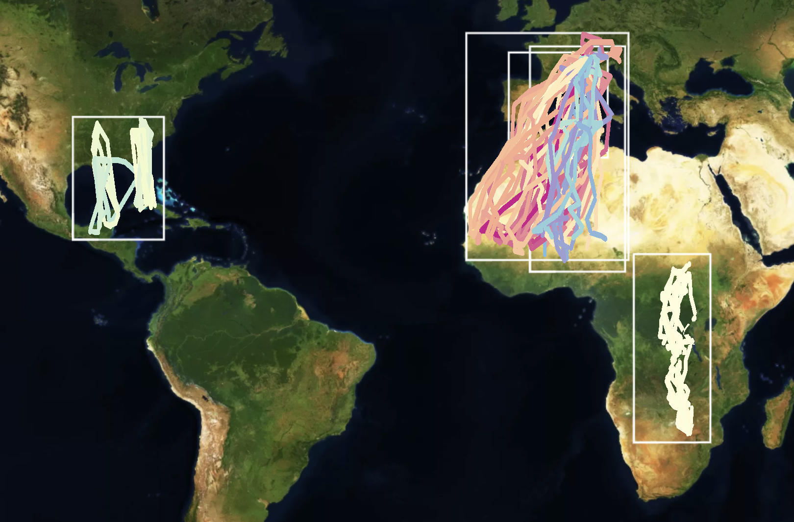
paths.csv: Table of the trajectory of all tags, typically most likely path or simulation paths. -
edges.csv: Table containing the flight information of the edges associated with the paths. -
twilights.csv: Table of the twilights estimated from light data for all tags. -
pressurepaths.csv: Table of the pressurepaths
The GeoPressureR Resources is optional, and even if you have not (yet!) analysed your data, it’s worth publishing the data (maybe with an embargo?). The data package can always be updated once the analysis is done.
14.2 Examples
The GeoLocator Data Package Zenodo Community is the best place to see all GeoLocator Data Packages.
Once you’ve published your data package, make sure to submit it to the community.

14.3 GeoLocatoR
GeoLocatoR is a R package designed to help you create and work with the GeoLocator Data Package.
Main Features:
- Create a Geolocator Data Package: Easily create a geolocator datapackage object, add resources (data), and write the data package to your preferred directory. Or, read an existing data package from a directory or from Zenodo.
- Works with GeoPressureTemplate: GeoLocatoR is perfectly tailored to work with GeoPressureTemplate. Use this dynamic duo to streamline your analysis, maintain a standardized project structure, and keep your geolocator data in perfect formation.
- Built on
frictionless: This package is built on top of the frictionless R package, adhering to the Frictionless Data standards for open data.
You can install GeoLocatoR from GitHub:

